


Windy and wet in RVA, but snow still promising
Even more evidence for heavy snow next week

2:30 pm Saturday, February 15, 2025
Core messages are the same as yesterday, but there is some nudging to yesterday’s overview. Update below:
Rain has settled in to Richmond, but it will begin to ease back late this evening.
Saturday night: Not a consistent rain all night, more like spotty light rain, perhaps some fog. But temperatures slowly climb during the night, into the upper 40s by dawn.
Sunday: Some small showers here or there first thing in the morning, then a surge of heavier rain for 2-3 hours around midday. There may be some thunder and lighting as that rain moves through on Sunday, and it will turn start to turn windy.
Then, later in the afternoon, the sky clears, the wind stays strong, and the temperature will briefly surge into the 60s.
Wind on Sunday morning may start light, but really pick up immediately before the rain hits. Wind speed will increase — consistently 15-30 mph, and there will be gusts near 50 mph during the afternoon.
Expect some limbs and branches to come down, and some isolated trees across the metro area to come down as well. A scattering of power outages is also likely. High profile vehicles (i.e. tractor-trailers) will be impacted by this level of wind.
(This is why our colleagues at the National Weather Service in Wakefield have issued a High Wind Warning)
The James River is on the cusp of hitting flood stage late Saturday afternoon at the gauging site near Huguenot Bridge. It is expected to go a few feet above flood stage early next week, but not enough to close the city’s floodwall.

A quiet couple of days will follow.
Monday and Tuesday are cold and dry with sun and clouds: mid 40s during the day and mid 20s at night.

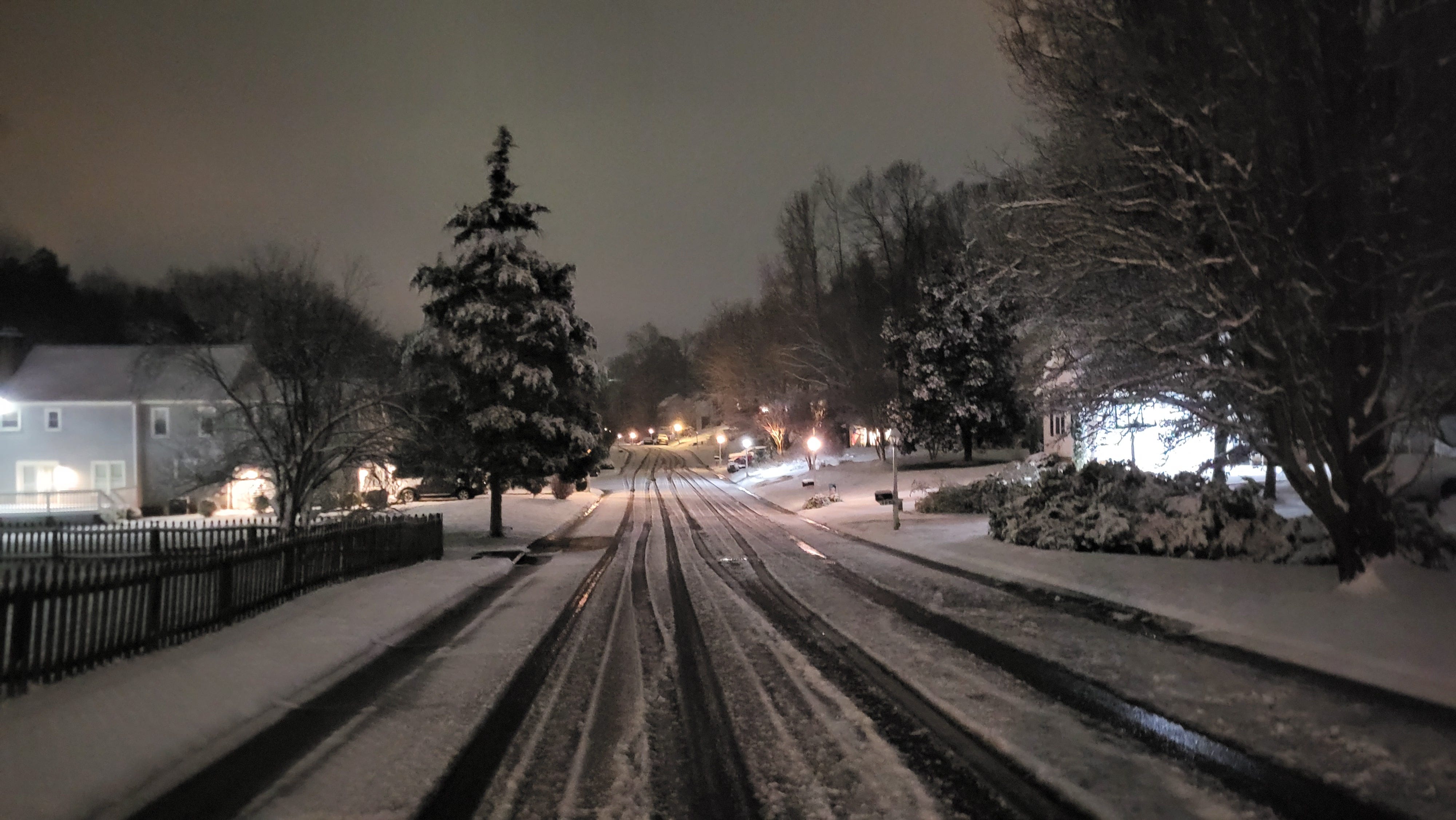
Snow update
Evidence continues to grow for substantial snow Wednesday afternoon into Thursday morning in Richmond (this is a few hours faster than previous forecasts).
But a caution about very large numbers on weather apps. Depending on the app, it may have very little human oversight (I’ve seen 14s and 15s tossed around).
Just beware.
Since this storm is about 4 days away, it is best not to fixate a precise amount, as those details are highly uncertain.
However, the data on Saturday are even more supportive of a big snow in Richmond than they were on Friday.
The Executive Conclusion
The take home message is the same: There is good reason to expect a plowable amount of snow — the kind that shuts down schools for a day or two — in Richmond between Wednesday afternoon and Thursday midday.
I mentioned yesterday that “if I had to make a guess now and then disappear into a cave for a week, I’d say something like 6-10 inches. But more data will be available over the weekend, which will give us plenty of time to see if the data trends in a specific direction — up or down — by Monday.”
I still think 6-10 is a good place to be for the moment, but if the data look similar tomorrow, 8-12 may be a better call. And yes, even more that that is a distinct possibility that should not be discounted.
Afterwards
In the couple of days that follow the snow, it will be colder than normal, with nights in the upper teens and afternoons in the upper 30s. No additional snow (nor rain) is expected for a at least 2-3 days after the storm exits on Thursday.
That means there will be some melting, but it will probably be several days before all of the snow is gone. I’d give it another day or two of data, but it might be time to dust off that sled.