

Weekend Winter Storm for RVA
Where it stands now. But caveats remain.

A quick note off the top. My colleague in Oklahoma, Alan Gerard, has an excellent discussion in his newsletter, Balanced Weather, on why there have been challenges modeling the large-scale weather pattern — leading to potential mixed messages in the broader media space. His newsletter provides an excellent national weather overview. Below we will concentrate on metropolitan Richmond, Virginia. A personal thanks to Molly Taft at Wired for talking with me this morning about the challenges of this storm.
5pm Wednesday, January 21, 2026
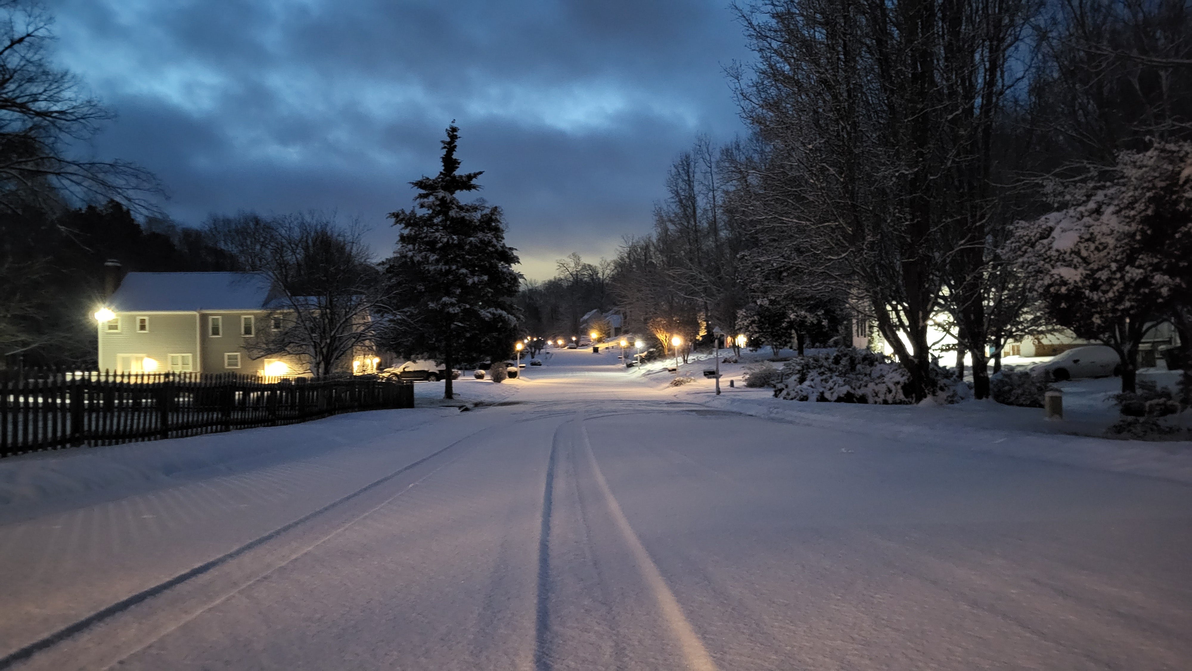
A serious winter storm is expected this weekend in Richmond. The level of precision we would like regarding precipitation type, amount, and impacts is still about 48 hours away. In the broader sense, some combination of heavy snow and ice are expected, with the most likely timeframe between Saturday night and dusk on Sunday.
Getting There
Mercifully, the period before the storm is fairly uneventful.
Thursday will be the nicest day Richmond has for the rest of the month. Aside from it being a bit breezy in the morning, we’ll have clouds and sun with an afternoon in the 50s.
Friday is cloudier, and there may be a couple of very light rain showers in the afternoon, although they are more likely toward Williamsburg and Hampton Roads. Afternoon temperatures will hold in the 40s.
Setting the Stage
Although we are not especially cold now, a bitterly cold mass of air is beginning to move southward from the Canadian Prairies, and part of it will drain into Virginia Friday night.
As a result, Saturday will start cold, with daybreak temperatures in the teens to near 20. Any hint of morning sun will quickly fade behind increasing and thickening clouds as the day goes on. I suspect you will have friends that look at the sky on Saturday and tell you, “It looks like snow.”
And at least this time, they would be correct.
Two things the data have been reasonably consistent about: 1) the onset time of the precipitation and 2) that it will start as snow. That remains the case this afternoon, meaning that the daylight hours of Saturday are likely just cloudy and cold. Snow waits until after sunset, if not later into Saturday night. But that cold air means business, as afternoon temperatures Saturday hold in the low-mid 20s.

The Wildcards
How the jet stream pattern develops in the next 48 hours will be critical in determining the precise type and intensity of our precipitation. But two other overarching themes have been consistent since Monday: Richmond gets a lot of precipitation, and there will be a frozen aspect to it.
My best guess right now, based on the last 3 days of data, goes this way:
Snow starts Saturday night and continues lightly through Sunday morning. Then there is a changeover to freezing rain during the morning, and the precipitation is heavier for several hours before ending late Sunday afternoon or Sunday evening. The temperature during Saturday night and Sunday will change very little, hovering in the low-mid 20s during that entire time.
This leaves us with the unsettling possibility of several inches of snow, followed by enough ice to weigh down trees and powerlines — and thus power outages.
Remember, freezing rain is liquid that freezes on contact with surfaces. Sleet (aka ice pellets) are the tiny spheres of ice that bounce on impact. Freezing rain clings to surfaces. Sleet pings and can be shoveled away.
Looking back to Tuesday morning, just to give a sense of scale, I suggested 6-10 inches of snow was a good starting point for this storm. Based on data from the last 24 hours, I am tempted to nudge that down a couple of inches, with a real concern for a half-inch of ice glazed on surfaces (if not more).
Although these totals and types will continue to be nudged further on Thursday and Friday afternoons, I would not gamble on a complete miss from this storm. Further, I implore you not to fixate on the final snow total until we have to make some more precise calls late Friday afternoon. The main message is this: a high-impact winter storm is very likely.
This is going to be a large storm impacting much of the country. Travel within a day’s drive of Richmond will be difficult starting on Sunday and will likely be a challenge for a couple of days afterwards.
As an aside, and with regard to power outages, I have two colleagues who are meteorologists on staff at Dominion Energy here in Richmond, so this will not be coming as a surprise to them.

What to Do
I understand everyone has their favorite weather app, television meteorologist, or person they follow online. But I would caution against the refrain that we all hear, “well, so-and-so said this, and s/he is never wrong.”
Everyone who does this has been wrong. Especially when a complex storm has yet to form and is still 72 hours away. I know many of the local meteorologists professionally and personally here in Richmond, and when they are honest with themselves, they will tell you the same.
But I can’t help you with what a YouTuber or some faceless AI-driven Facebook bot says. There are good people at The Weather Channel, but they are in Atlanta. Let the buyer beware.
A suggestion: listen to or read information from two or three sources you have learned to trust over the years and take an average. Read what our colleagues at the National Weather Service Office in Wakefield have to say. They do exceptional work that is largely unseen by the public, and frankly, they have been under untold amounts of stress in the last 12 months.
By Friday afternoon, all of us will be closer to singing the same tune. But for now, there is understandably a lot of noise.
I am often asked what I would do. So I’ll tell you.
For now, I am planning to be sure everything I need is in place by dusk Saturday: snow shovel, some salt for the driveway, and plenty of granola bars and trail mix if we lose power.
If you have family or friends who have mobility issues, check on them Friday.
Worst Case Scenario
Regardless of precisely how this storm plays out, it will be very cold for 2-3 days afterwards.
No further significant precipitation is expected through the middle of next week, but afternoons Monday through Wednesday will be in the upper 20s to near 30. Monday and Tuesday nights will go down to about 10 degrees — perhaps even a few degrees colder than that on Monday night.
I do not enjoy saying this, but it is something we might need to start thinking about by Friday: if we get a few inches of snow, followed by more than an inch of ice clinging to surfaces by Sunday evening, we will have thousands of power outages across the city.
Ice would only melt in the sun during the warmest hours of the day Monday through Wednesday, meaning line workers would have a difficult time reaching people away from city and suburban areas for a few days to restore electricity. (I think about them a lot, as my uncle did that work for years at Dominion).
I am also thinking about an analogy: the ice storm at Christmas in 1998. I’m not saying it will be that bad, but it is not a possibility that should be discounted yet.
We still have a couple more days. I do not want ice either. Ever.
I’ll be publishing special versions of the newsletter Thursday and Friday. Updates will also be at my website.

Enjoy this update and like to support small business? The Wednesday newsletter is free, but you can always buy me a virtual coffee via the button below.
And visit subletteweather.com to see what a weather consultant can do for you or your business.