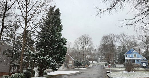
7:30am Saturday update, January 4, 2025.
Very quick look at the overnight data. Minor changes:
Timing: a few hours slower... meaning precipitation does not start until a few hours after dark on Sunday... but would continue through the end of Monday.
A smidgen warmer about 1-2 miles up in the atmosphere, which is what I was concerned about yesterday. So for now, no change in the going accumulation forecast for Richmond (a couple or a few inches of snow likely). And I still expect some sleet and/or freezing rain.
Full update later Saturday afternoon after the new suite of data come in later this morning.
And our colleagues at National Weather Service in Wakefield have put Richmond under a Winter Storm Watch — which means conditions are coming together for an impactful winter storm.
And thanks to the new subscribers. Typically, once a week is sufficient for the weather newsletter. But snow changes the situation entirely.
Also… thanks to Brandon Jarvis for mentioning me in his Virginia Political Newsletter which you can subscribe to here. Important in this day and age to support people doing good independent work.
Previous storm discussion below.
***
2pm Friday, January 3, 2025
About the storm coming late Sunday afternoon into Monday for Richmond:
Much of the new data this afternoon is more bullish toward significant accumulating snow in Richmond. More importantly, there appears to be a definitive trend in the data over the last 36 hours toward more snow. However, discretion suggests waiting about another 24 hours before taking any actions or making any loud proclamations.
Notably, there will also be a large variation in snow from north to south across Virginia. The mountains will not necessarily get more snow than areas eastward (e.g. Fredericksburg and Richmond).
Also in Richmond, be on the lookout for some freezing rain or sleet very late Sunday night or early Monday morning — before all precipitation ends as a quick burst of snow early Monday afternoon.
Compared to 24 hours ago, I’d increase our odds of a plowable snow in Richmond, but it is still not a done deal. Having to make the call right now, I’d go with 2-4 inches of snow in Richmond, with a couple of inches more north toward Ashland. Perhaps an additional inch or so on top of that farther north toward Fredericksburg.
Amounts will drop quickly south toward Petersburg, and across Dinwiddie and Prince George Counties. A coating or an inch seems to be a better guess in those places right now — as there will be more freezing rain and sleet mixing in.
For those who like to play the odds, a small nudge in the Richmond probabilities:
10%: 6+ inches of snow
40%: 2-6 inches of snow w/ some light mix (frz rain)
40%: Less than 2 inches snow w/ more mix or even rain at the end
10%: No accumulating snow at all (dusting, then a mix finishing as rain)
Regardless, travel will become challenging starting late Sunday evening. And a harder freeze of surfaces and non-treated roads will occur after sunset Monday night, when temperatures drop into the lower 20s.
There is still a distinct possibility that Richmond could find itself in the sweet spot — meaning 8 to 12 inches of snow. I do not think we are there yet. But if the data are sending the same message by Saturday afternoon, that may be the final call.


