


New RVA flood project needs your help
A chance to get you — or your kids — involved in science this year

Thursday, March 20, 2025
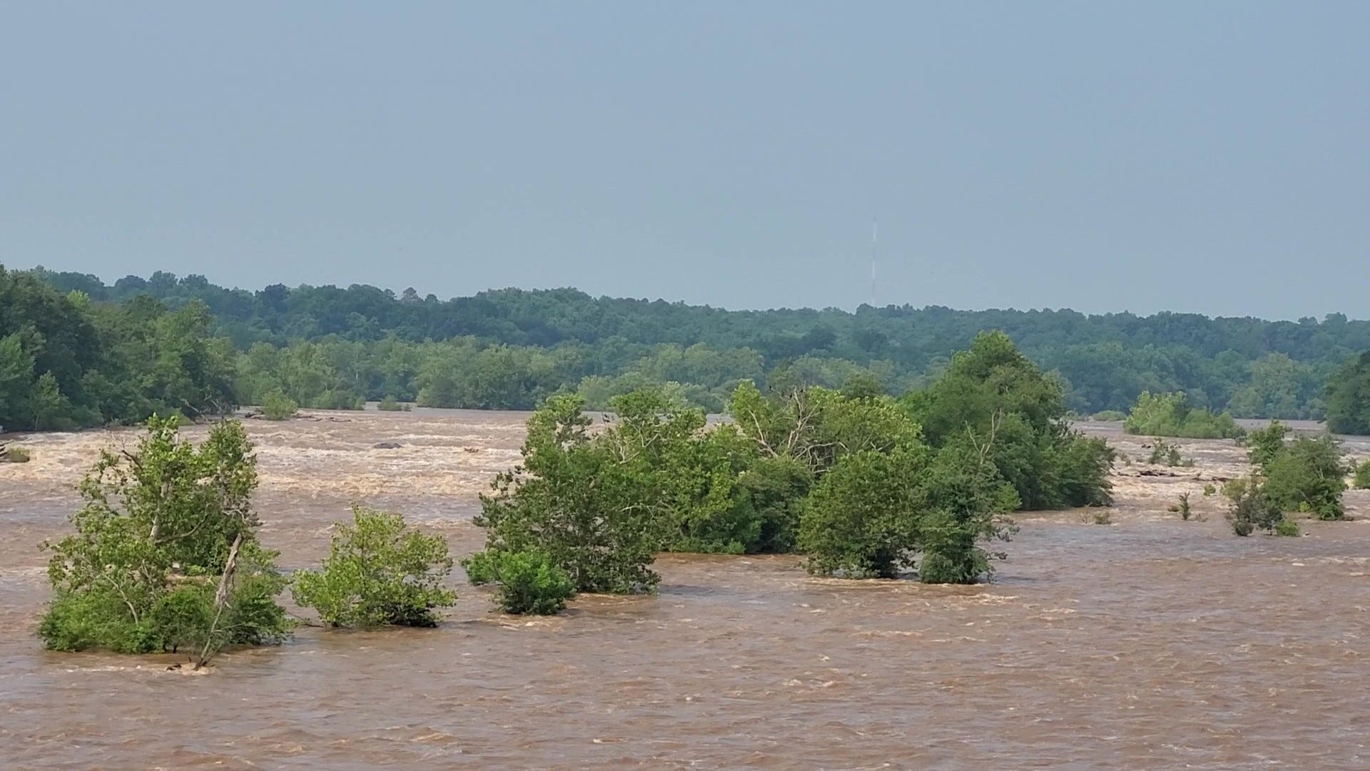
A new community science project is starting in Richmond today (March 20), and you can help with their data. The project is a coordinated effort between Southside ReLeaf and the University of Richmond — to better understand flooding in South Richmond.
Called Go With The Flow, the data collected will help build a more detailed map of flood risk in South Richmond. More data is always helpful, and this is a real-world science project for curious minds of all ages interested in understanding their environment. The additional data will yield a stronger understanding of flooding in South Richmond, so we can better plan and prepare for it.

Sheri Shannon, a fellow Penn Stater who is the co-founder and Director of Programs at Southside ReLeaf, explains, “There’s currently a significant gap in data about where and how much it floods in the city, but we know that flooding is a serious problem. We hear from our Southside neighbors all the time about how badly it floods in their neighborhoods and how much that disrupts their lives. We’re leveraging community science to raise awareness about the issue, identify solutions, and catalyze funding opportunities to address the root causes of flooding.”

The project uses a mobile-friendly survey that asks for the date, what time it rained, and your location. Including a photo of the location is optional, but even so, there will no personal information included in the survey — it is totally anonymous.
Data will be collected between now and September 1, as this is the time of the year when thunderstorms are most common and rainfall rates are heaviest — often leading to urban flash flooding.

A colleague at the University of Richmond, Professor Stephanie Spera, talked about how the data will be used, “Knowing where it floods in the city is just as important as knowing where it doesn’t flood during a rainstorm. The flood model we’re creating uses data on where paved roads, storm drains, trees, and other topographical features are located in the city. With the data on where it does and doesn’t flood during a rain event collected through the survey, we’ll be able to create a stronger model that will allow us to look for patterns in how the built environment of an area relates to its flood risk.”

Water flows across boundaries, so you do not have to live in South Richmond to participate, as more data is always helpful. But there core of this project will be south of the James.
You can also sign up for text alerts when rain is expected — to remind you to complete the survey.
More resource links to get involved:
Go With the Flow Page (where you can link to the survey)
Text FLOWRIDERS to 866-719-9501 for text alerts